El Ciudadano
Original article: Desde el espacio: Académico de la U. de Chile muestra la huella de los terremotos en Venezuela
Academic from U. de Chile Reveals Earthquake Impacts in Venezuela Using Satellite Technology
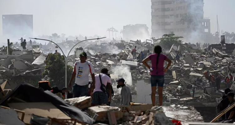
Francisco Delgado, an academic at the University of Chile, shared an interferogram of the area affected by the earthquakes on June 24 in Venezuela, sourced from the European Space Agency’s (ESA) Sentinel-1 satellite constellation.
The image focuses on the Venezuelan state of Yaracuy, displaying color gradients that illustrate shifts along the Oca-Ancón fault, situated near the boundary between the South American and Caribbean tectonic plates.
The blue color indicates that the northern section of the fault is moving away from the satellite, while the red signifies an approach, «all of which aligns with the horizontal movement typical of a dextral strike-slip fault,» the professor explains.
The black lines represent active faults and are derived from the scientific publication «Hazardous faults of South America; compilation and overview,» authored by renowned professor Carlos Costa from the National University of San Luis, Argentina, and published in 2020 in the Journal of South American Earth Sciences.

The academic explains that «this image was captured 45 minutes after the two earthquakes. Therefore, it was an almost immediate response, demonstrating the usefulness of satellite technology in Earth sciences.»
«These earthquakes occurred at the boundary of the South American plate and the Caribbean plate, which is known as a strike-slip fault. The only similar structure here in Chile is the Magallanes-Fagnano fault,» the researcher noted.
Moreover, Professor Francisco Delgado emphasized that achieving this interpretation requires not only a solid understanding of structural geology (how faults move in this part of the continent) but also familiarity with the movement patterns of the satellite constellation (to project the Earth’s surface motion to the satellite’s observation point, as it orbits from north to south).
Additionally, the image resulted from an operational coincidence: at this time, ESA has three satellites in orbit instead of the usual two, reducing the interval for image capture from six days to just one and allowing for almost immediate interferogram generation in response to the emergency.
La entrada Academic from U. de Chile Reveals Earthquake Impacts in Venezuela Using Satellite Technology se publicó primero en El Ciudadano.
🔥 Ver noticia completa en ElCiudadano.cl 🔥